Everyday experiences
Meetings, mapping and questionnaires collect which places matter to people, how they reach them and which barriers they encounter.
SmartUrbanity is a research project on how to make everyday places more accessible. In Rome, we start from the experiences of adults living in Municipio XII to understand routes, barriers and ways of getting around.
People, routes, decisions
The project
SmartUrbanity is a European research project on proximity cities, often called “15-minute cities”: places where services, relationships and everyday activities are easier to reach on foot, by bicycle or by public transport.
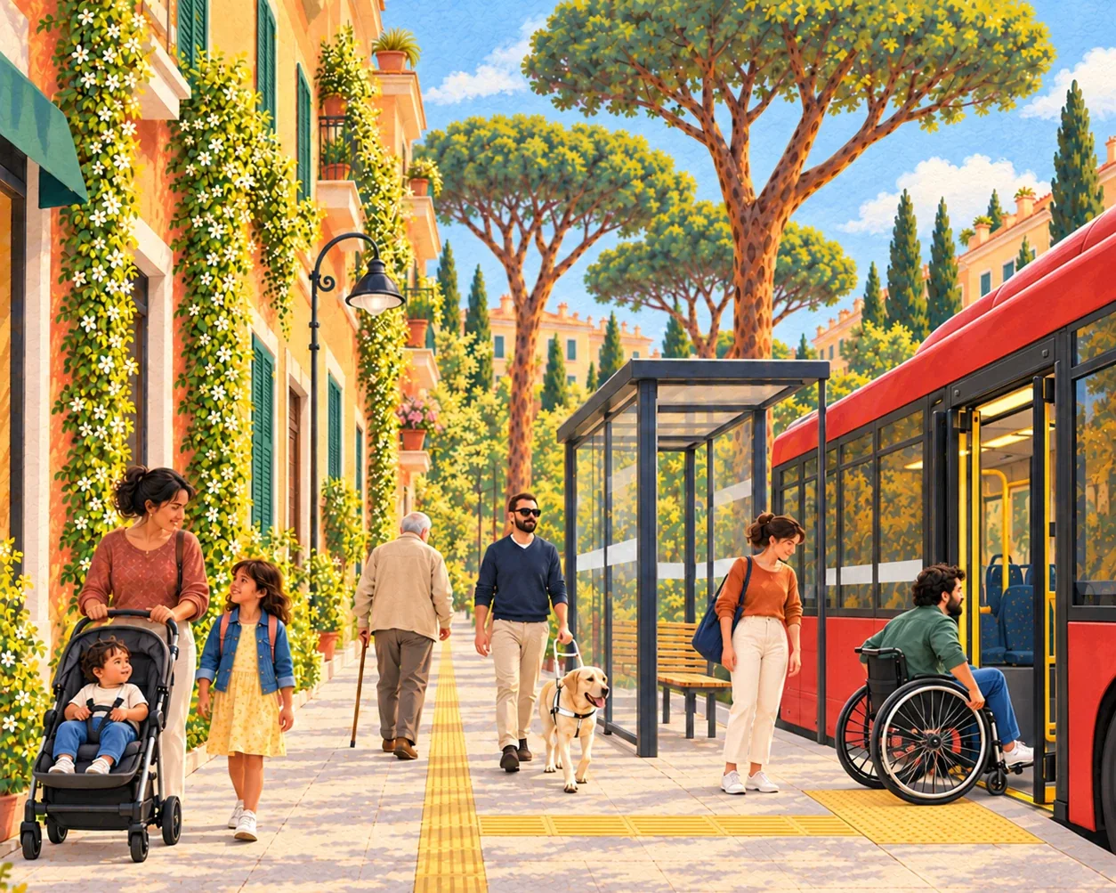
A pharmacy five minutes away may be unreachable for a wheelchair user if there is no ramp. A woman returning home in the evening may avoid a poorly lit street. An older person may prefer a longer route with benches and safe crossings.
That is why the project combines maps with people’s experiences: safety, comfort, route continuity and real choices about how to move around. Research takes place in five European pilot areas, including Rome’s Municipio XII.
Meetings, mapping and questionnaires collect which places matter to people, how they reach them and which barriers they encounter.
The tools turn contributions into maps and analyses to understand how accessible places and services are for people with different characteristics and needs, beyond distance alone.
Maps and findings help local organisations discuss priorities for accessibility and quality of life. Decisions and interventions are the responsibility of the competent authorities.
For decision-makersWhat we are building
Route quality
To identify opportunities and barriers to reaching services on foot.
Accessibility indicators
To understand comfort, safety and differences between people’s profiles.
Decision support
To bring research evidence on local priorities to decision-makers.
The Rome Pilot · The journey
Starting from an initial research-team proposal, SmartUrbanity’s tools took shape through three focus groups with people and organisations from Municipio XII. Now we will try them together to understand what works and what to improve.
What emerged from the three focus groups →
In 2027, the pilot plans two phases of data and experience collection on the accessibility of places and services, ending on 30 September. Any continuation will depend on interest from the Municipio and local people.
How can we understand whether places and services are accessible to different people, and bring their experiences into decision-making? This question led the research team to develop an initial proposal for tools to build together with the people and organisations involved.
Participants discussed the tools and built a collaborative ideas map. They called for simple contributions, clear privacy information and visible follow-up to reports.
Administration representatives and technical staff discussed the strengths and challenges of decision-support tools: connecting existing reports, interpreting clear data and considering responsibilities and resources. The discussion informed decision-support development.
In the third focus group, participants discussed and voted on priorities for improving route continuity, safety and reliability, including for people using pushchairs or mobility aids.
The three focus groups informed the development of tools to map places, services and connections, collect experiences and analyse accessibility.
We will invite adults to try Access Together: map places, services and connections, add observations and answer questionnaires. Together we will check whether the steps are clear and collect difficulties and suggestions. These first trials will help improve the tools and begin building the information for the analyses.
We propose a month of trials to collect more feedback and improve the tools before the structured collection planned for 2027.
We will start structured collection of data and experiences on the accessibility of places and services and how everyday spaces are experienced. We will observe connections between homes, stops, schools, shops and other services: where routes break off, which places people choose and which they avoid.
In the second phase, we plan to extend pilot activities to Monteverde Vecchio and Porta Portese.
The pilot will end on 30 September 2027. If the Municipio and local people are interested, we can consider together how to continue the activities and extend them to other areas.
Rome Pilot partners
The Rome Pilot brings together research, tool development, civic participation and dialogue with institutions. Five organisations contribute different skills to building and trying the tools locally.


Take part in the pilot
People living in Municipio XII, associations, local businesses, public bodies and services can contribute to SmartUrbanity trials: they bring knowledge of places, involve people they meet every day and propose walks, meetings or workshops. Here are the organisations that have joined the network; the list will grow as others join.
Which places can you reach easily? Where do you encounter barriers, insecurity or fatigue? You can share these experiences during meetings and walks, or through the web tools, including from home.
Come on 14 November, 10:00–13:00 →Local organisations know people, places and everyday routes. Their contribution helps involve diverse experiences and understand the neighbourhood’s needs together.
Join the network →Research can provide evidence for discussing priorities. Dialogue with public bodies and services helps build tools useful to their work, respecting responsibilities and resources.
Explore how to use the evidence →Record your journeys with any means of transport and collect points. It also opens the web tools and questionnaires.
When asked which pilot you are joining, enter smartrome.
smartromeCheck and describe places around you in your browser, even without an account.
The network welcomes new members.
Join the network
Associations, local businesses, public bodies and services wishing to contribute to the trials in Municipio XII can join the network. Tell us who you are, where you work and which activities you would like to organise: your logo and a link to your page will be added here. You can also contact us simply for information.
Rome Pilot contact:
Dr Lory Bresciani
lorymichelle.brescianimiristice@uniroma1.it